
Recently, my office was called upon to provide drone coverage for a couple events/investigations. These events prompted me to provide some information regarding how we use/plan to use drone technology within Forest County.
The rapid advancement of drone technology has revolutionized various industries, and the field of conservation and land information management is no exception. In Wisconsin, county conservation and land information offices have started integrating drones into their operations to enhance data collection, monitoring, and assessment of natural resources.
In county conservation offices, drones equipped with high-resolution cameras and sensors can survey large areas of land, forests, and water bodies more efficiently than traditional ground surveys. These aerial surveys provide detailed imagery and data that aid in identifying potential threats to biodiversity, habitat loss, and invasive species.
Wisconsin’s conservation offices are often tasked with handling natural disasters and emergencies such as wildfires, floods, and severe weather events (see photo below). Drones equipped with thermal imaging and live-stream capabilities become invaluable assets during such crises. They provide real-time insights to responders, helping them assess the extent of damage and plan rescue missions more effectively, thus mitigating the impact on natural resources.
While drones offer numerous benefits, their usage comes with legal and ethical implications. Wisconsin’s county conservation offices must adhere to Federal Aviation Administration (FAA) regulations regarding drone flights. Additionally, ethical considerations concerning privacy and disturbance to wildlife must be addressed. Proper training and certification for drone operators are essential to ensure safe and responsible drone usage.
Drones offer a unique and captivating perspective that can be utilized to engage the public in conservation efforts. Sharing aerial images and videos on social media platforms and community outreach events can raise awareness about the importance of preserving natural habitats and inspire people to support conservation initiatives.
Drones generate vast amounts of spatial data that can be seamlessly integrated with Geographic Information Systems (GIS). Combining drone-collected data with existing GIS databases enhances the accuracy and precision of mapping and analysis.
 (Pictured above) Forest County Drone Pilot, Kayla Littleton, and Stephanie Montgomery (not pictured) investigating a possible tornado touchdown/straight-line winds near Hiles
This integration empowers conservationists with comprehensive spatial information, enabling them to make more informed decisions about land use and protection strategies.
Drone technology has become more affordable over the years, making it a cost-effective option for data collection and monitoring. Compared to traditional methods that involve extensive fieldwork, drones can cover larger areas in shorter periods, reducing labor costs and saving valuable time for conservation offices.
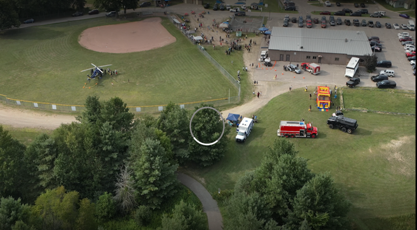
 Drone picture from National Night out
The adoption of drone technology within county conservation and land information offices can foster collaboration among various stakeholders. Government agencies, non-profit organizations, academic institutions, and private companies can work together to share resources, expertise, and data collected through drone flights. Such partnerships strengthen the overall capacity for conservation efforts and promote a holistic approach to environmental preservation.
Conservation Corner is a weekly article produced by the Forest County Land & Water Conservation Department. For more information contact Steve Kircher, County Conservationist-Land Information/GIS Director at 715-478-1387 or by e-mail at .